 Monday, August 7, 2023 15:37 PM
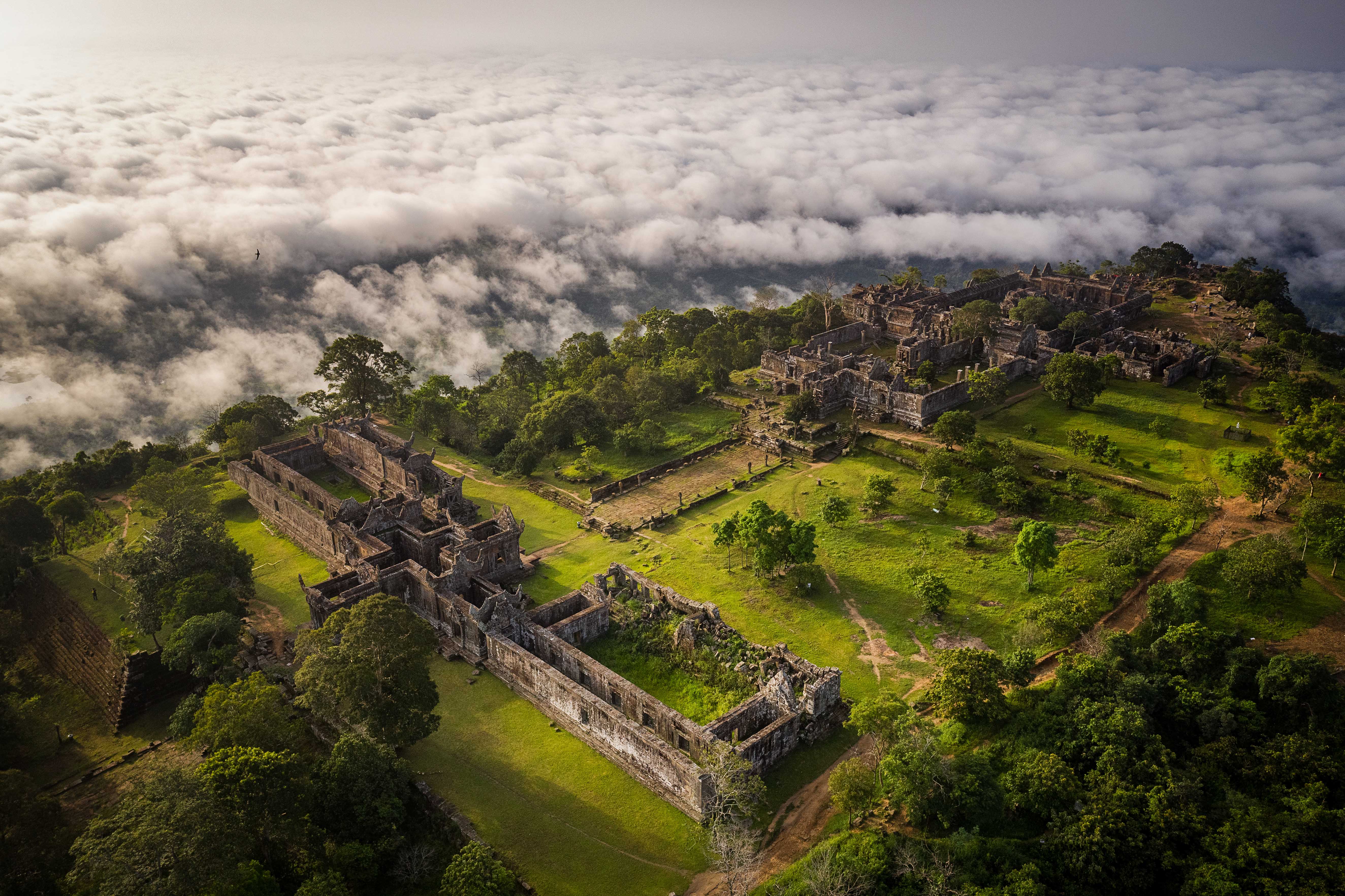
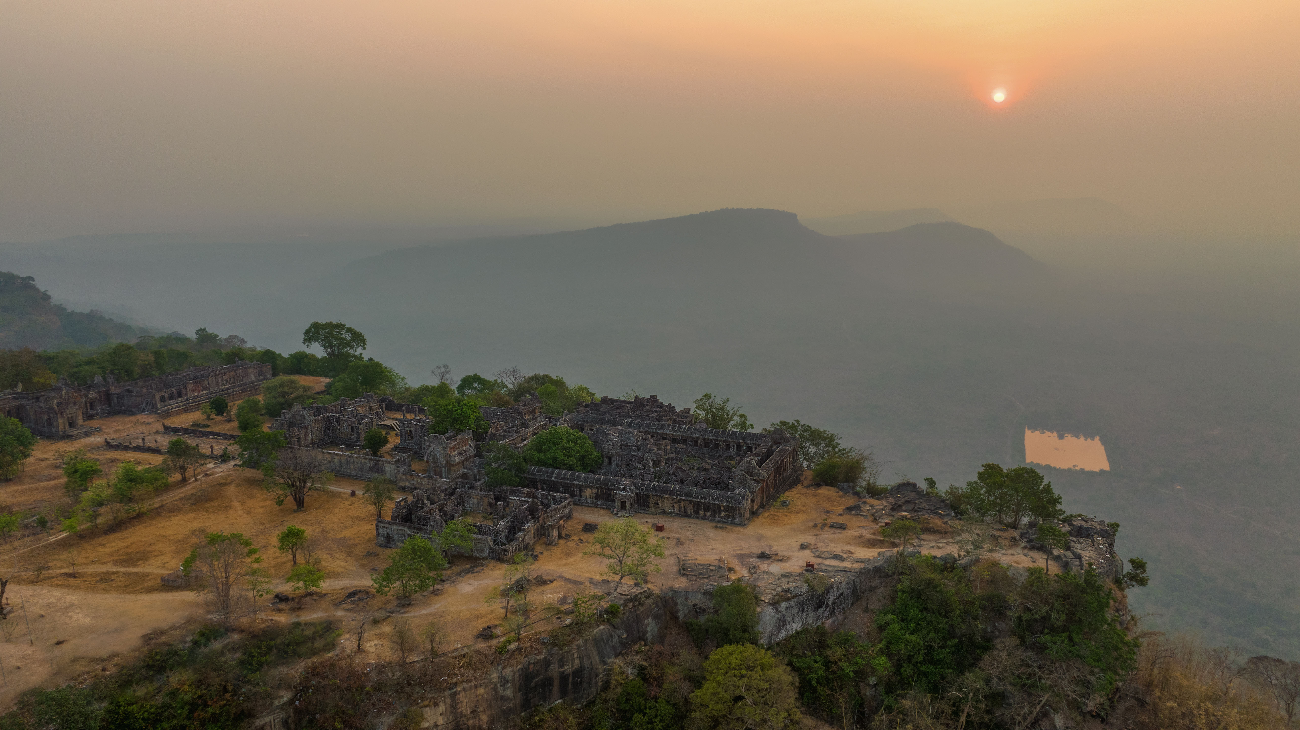
According to the results of the survey of archaeological sites on the mountain of Preah Vihear temple by the Department of Resorts and Archeology (NAPV) since 2009, there are 5 ancient hills on the top of Preah Vihear mountain, which is an ancient settlement or The construction of the temple of Preah Vihear. Among the ancient hills, there is an ancient hill measuring 70 x 90 meters, located west of the 5th Gopura, with a distance of 270 meters. Since 2008, people have been living on this ancient hill, starting with the Cambodian Mine Action Center (CMAC), living on this ancient hill until 2009. Then, in 2011, other people started living on this ancient hill, including officers, rangers, police and others.
The Tuol Boran area above is affected by the activities of about 300 tourists a day and there are many cars, these activities and indirect damage to the ancient hill. Due to the erosion of cars and trucks and the activities of many people from year to year, the pieces of art buried in the ground have appeared on the surface of the ancient hill, causing these art objects. Damaged and lost.
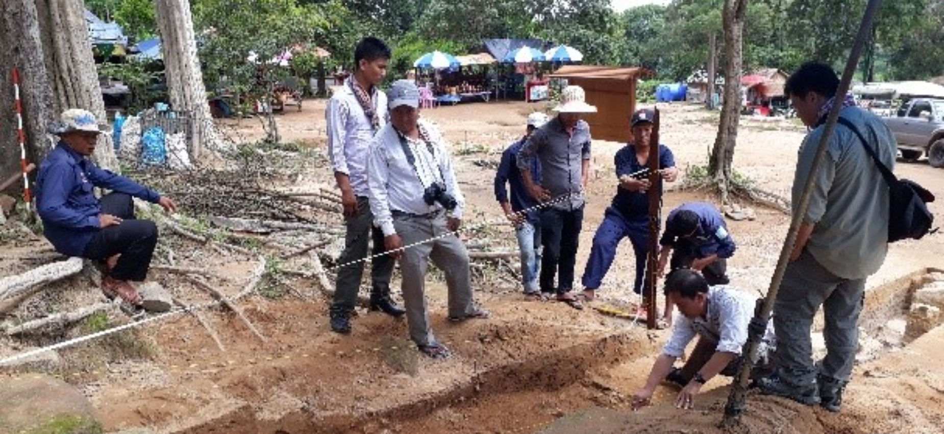
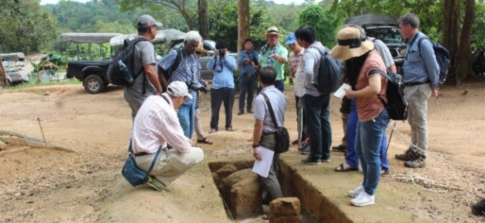
In February 2017, the Department of Resorts and Archeology of the National Authority of Preah Vihear started conducting research on ancient hills to prepare conservation plans for the future. In this study, we have opened 4 excavation pits to study the ancient hill above, in order to confirm the settlement of people on the ancient hill, the ancient traces and structures around the ancient hill are as follows:
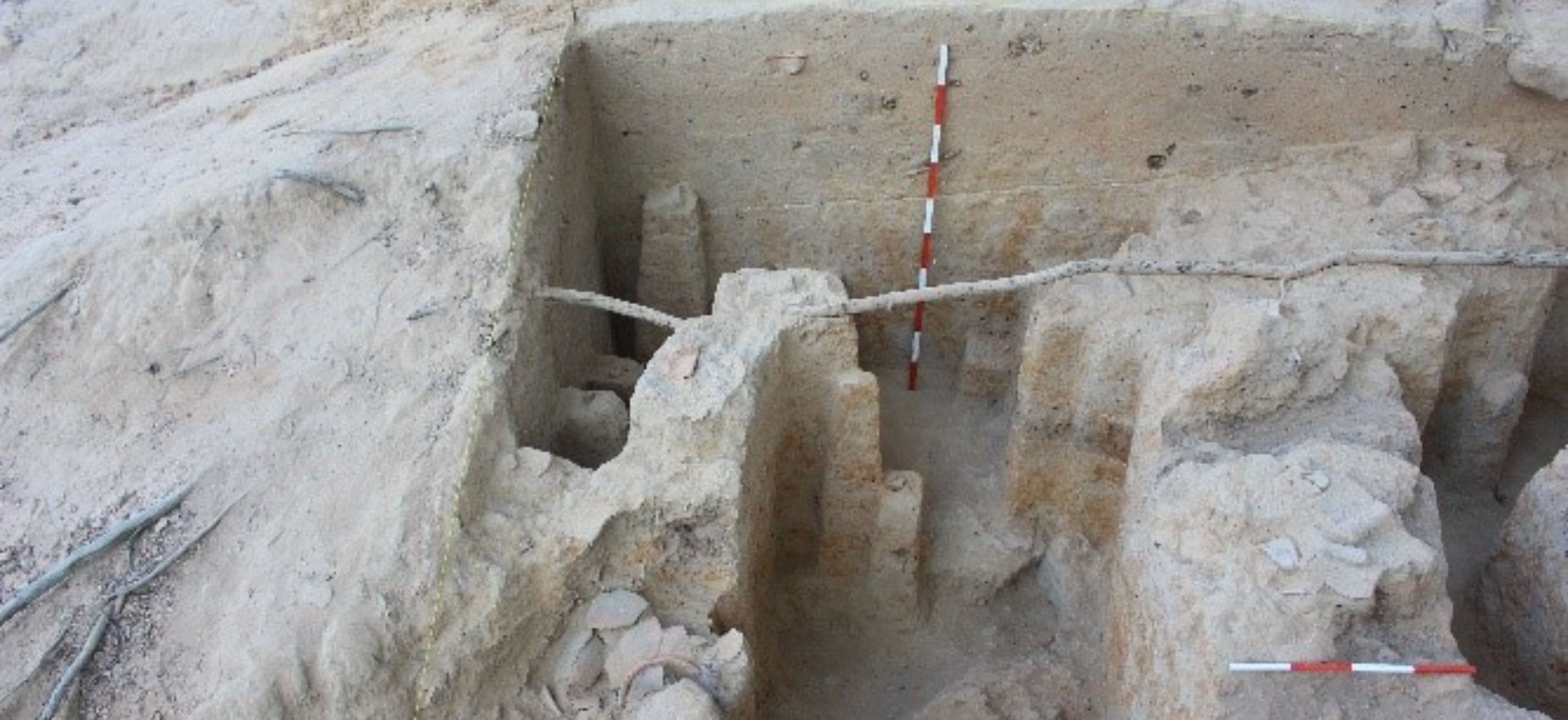
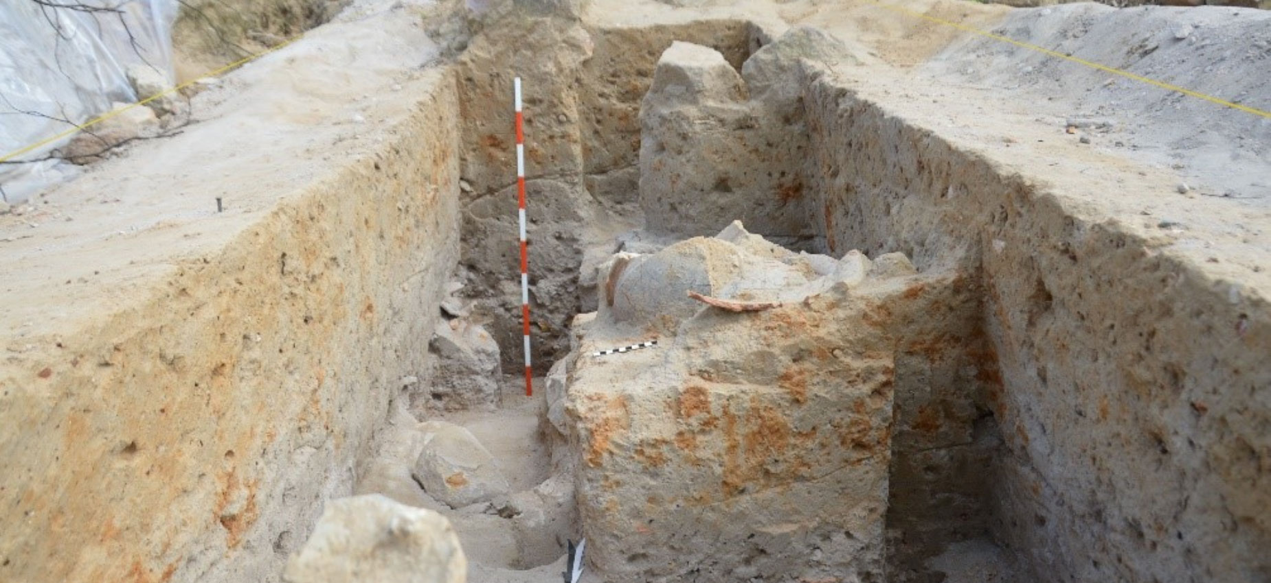
- Pit No. 1: As a result, we found the southern wall of the bridge west of the 5th Gopura and some pieces of pottery in the form of pots
- Pit No. 2: As a result, it is seen that the last part of the western girder bridge of the 5th gopura was built on natural rock. Water and some pottery pieces in pots
- Pit 3: Located on an ancient hill and found many pieces of tiles and pottery and crushed iron ore
- Pit 4: To the west of Pit No. 3, in this place, there is a strong erosion and some fragments of artefacts have appeared, as a result of which there are pieces of tiles and pottery. Earthen ware and Stone ware
Based on data from excavations and archaeological surveys conducted in 2017, we can conclude that the ancient site is a site of ancient human settlements.
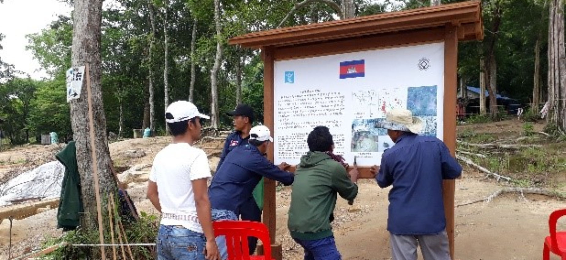
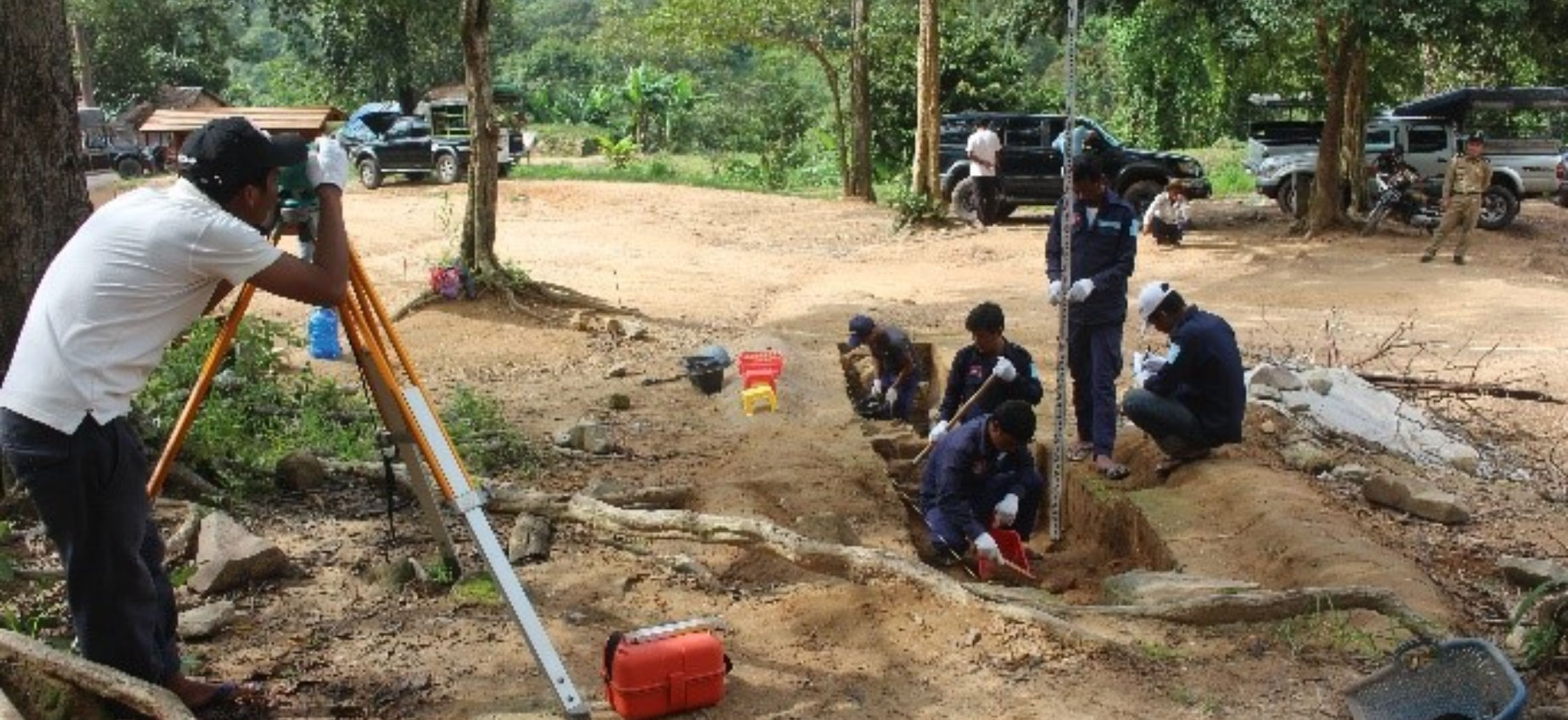
Until June 2018, the Department of Resorts and Archeology of the National Authority of Preah Vihear has started to continue research to prepare future conservation plans with activities such as:
A study of the size of ancient mounds, the collection of artefacts on the surface through erosion
Preservation and protection of ancient hills damaged by human activities (temporary parking) and nature (rainfall)
Archaeological survey to determine the extent of ancient hills
Study on the impact and relocation of people to provide tourism services on the ancient hill
Drainage project to prevent soil erosion and planting grass to prevent further erosion
Research excavations to determine the extent of ancient hills are as follows
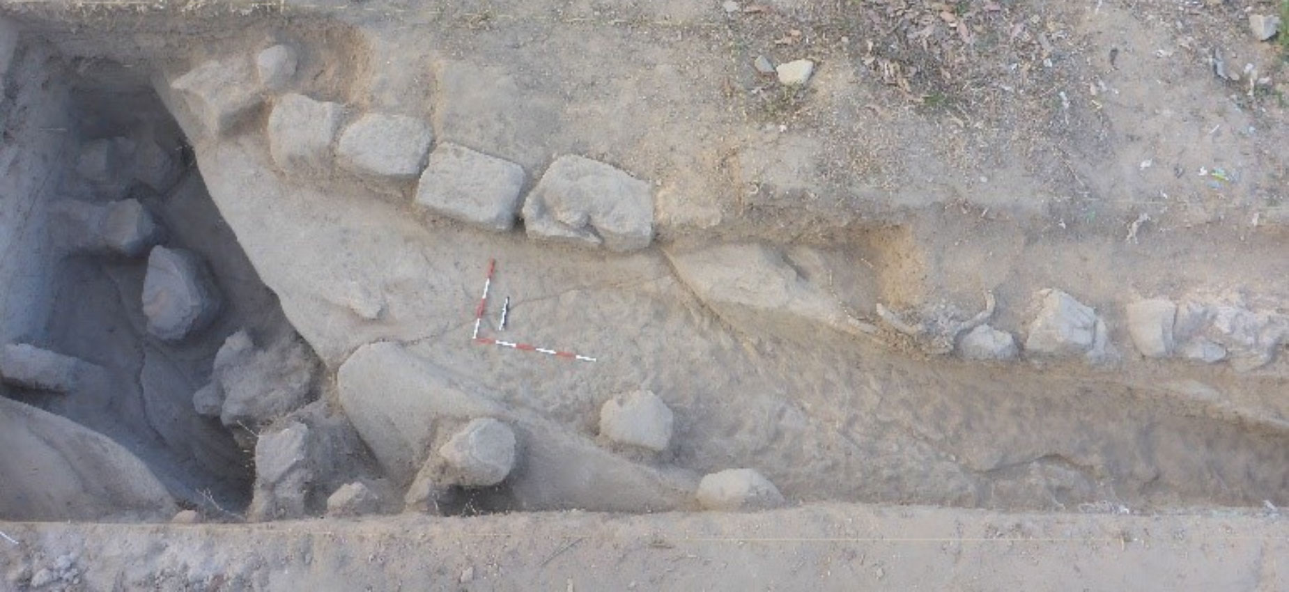
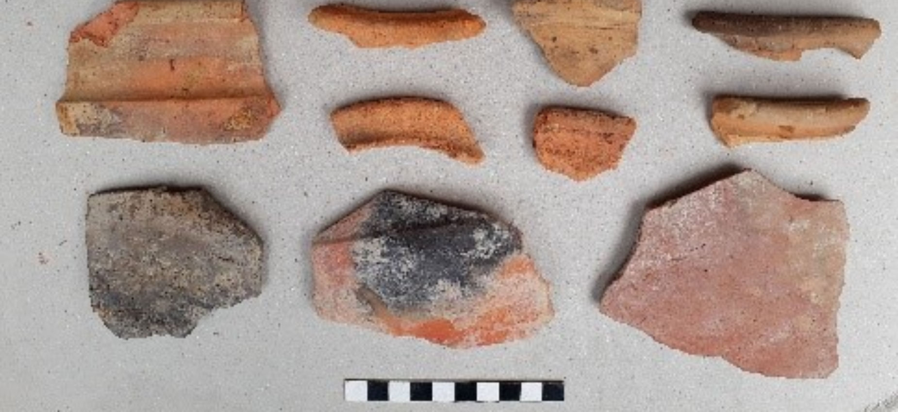
- Open 1 excavation pit (Tr.WCWG5-05) with size from north to south, 11 meters long and from east to west, 1 meter long to study the structure of the hill (hill arrangement and rock arrangement) And the size of the area of the ancient hill. The results in pit number 5 show that three types of pottery have been found, and one of them is used in the temple of Sambor Prei Kuk, which may date to the 7th century BC. Two other types of pottery may be related to those found in Phnom Kulen and Angkor. Therefore, this indicates that this ancient hill was inhabited before or during the same period as the construction of the temple of Preah Vihear. Archaeological finds on the surface and results from archaeological excavations. We can consider that this ancient hill is larger than it is today, with the northern part being connected to the western bridge of the 5th Gopura, but it was destroyed during the civil war of 1979-1990 and now.
- Open excavation pits to check the situation in the preparation of rainwater drainage system to avoid soil erosion from 4 ancient hills, in each pit dug to a depth of 0.50 meters to see the results Affect or not affect the soil layer culture in the design of drainage system
. Pit No. 01: Size 17 meters x 0.50 meters (Tr. Canal 01)
. Pit No. 02: Size 1.80m x 0.50m (Tr. Canal 02)
. Pit No. 03: Size 2m x 0.60m (Tr. Canal 03)
. Pit 04: Size 2.50 m x 0.60 m (Tr. Canal 04)